
MOCA Code: OxBrf01
Location: 43.945964, -70.884133
From its intersection with Depot Street, drive southeast on Misty Lane (Old 113) about 100 yards. The large, maintained cemetery is on the right.
Jess Davis transcribed and researched the burials in the cemetery in 2025 and created the following spreadsheet. Information in bold appears on the gravestones. Many unmarked burials were found through Brownfield’s death records.
Click here to open this spreadsheet of burials in Google Sheets. Click ctrl-F to search the sheet.

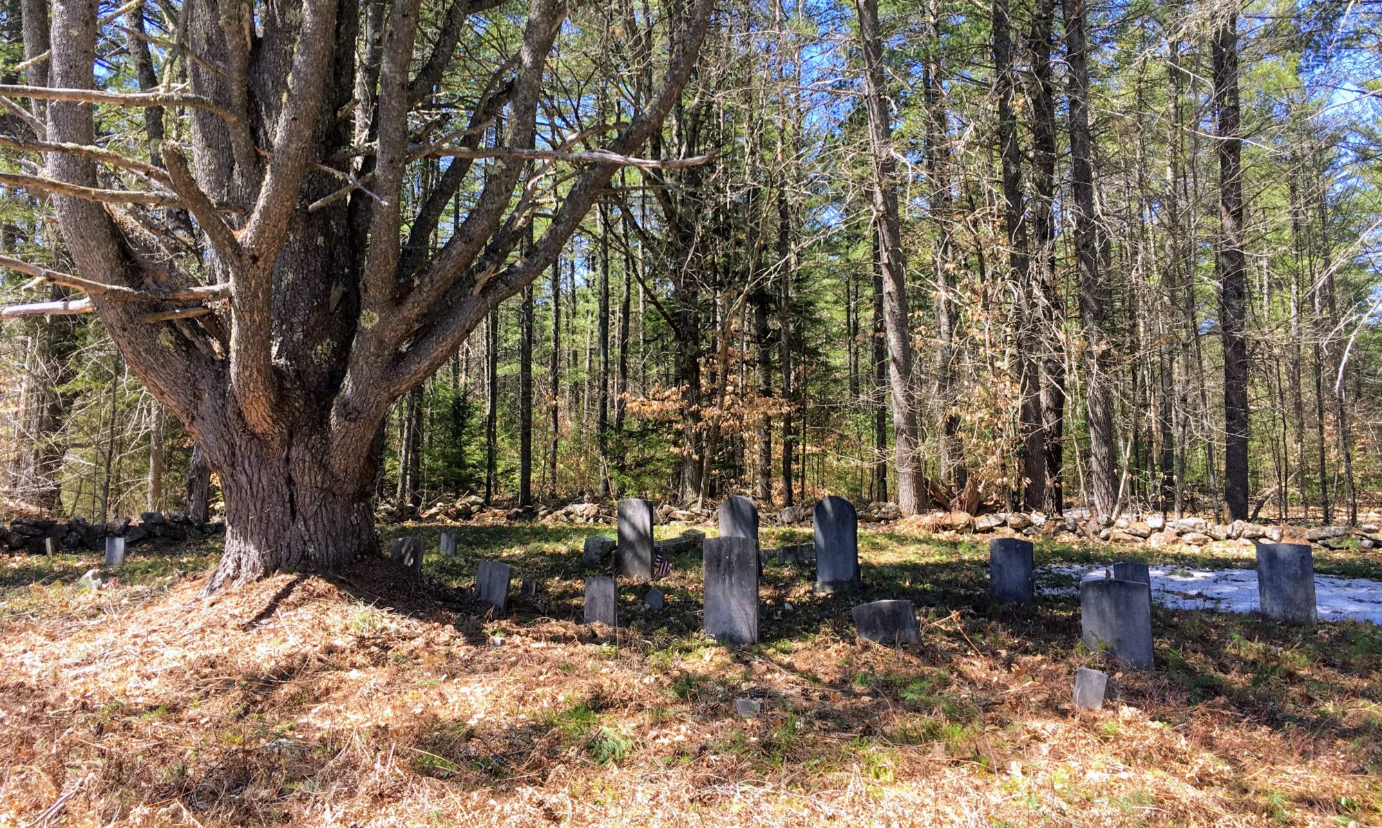
Condition (11/2025):
This cemetery is comprised of many sections and lots, some divided by fence posts or corner markers. Most stones are upright despite their age and the grass is mowed regularly by the association.