

Find-A-Grave Listing (click to see individual gravestone photos and genealogical information)
MOCA Code: OxBrf11
Location: 43.91521, -70.85445
From 113, turn onto Caroline Drive. (Caroline Drive is about 2.9 miles south on 113 from its intersection with 160 in Brownfield.) Immediately turn right onto Portland Road (old 113). In 0.1 miles park at the entrance to Benson’s Mill Road on the left (south) side of the road. A path leads up the hill to the south.
Historical Information:
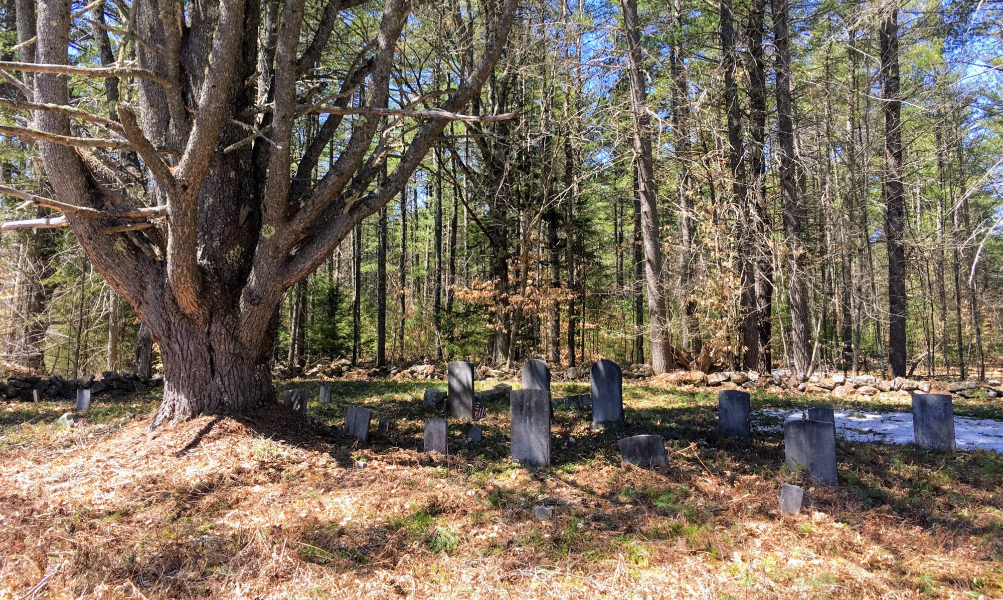
This cemetery has two sections, divided by an empty area with a tree in the middle. The east side contains the graves of the Hawkins and Hartford families. John S. Hawkins and George B. Hartford owned the nearby mill at Ten Mile River in the 1870s and 1880s. It was later owned by George Benson, which is why the road near the cemetery is called Benson’s Mills Road.
The west side of the cemetery contains graves of the William H. McLucas family that lived near “Moody’s Crossing,” where the railroad crosses what is now Misty Lane. There are also graves for other families in the neighborhood, including Trainors and Wards.
This cemetery has been incorrectly identified as the “Howard-Powers Cemetery” or “Hartford-Powers Cemetery” in the past.

Condition (5/1/21):
The cemetery is surrounded by a solid pipe rail fence. Some stones have fallen, especially those of the Hartford family on the east side of the cemetery. It was recently mowed sometime in 2020 and currently looks quite nice.